Heerema Optimises Sleipnir Transit
Heerema Marine Contractors reduced the North Atlantic transit of its semi-submersible crane vessel Sleipnir by 2.5 days during a voyage optimisation pilot carried out with French ocean intelligence specialist Amphitrite. The data driven trial shortened the vessel’s route by 240 nautical miles…
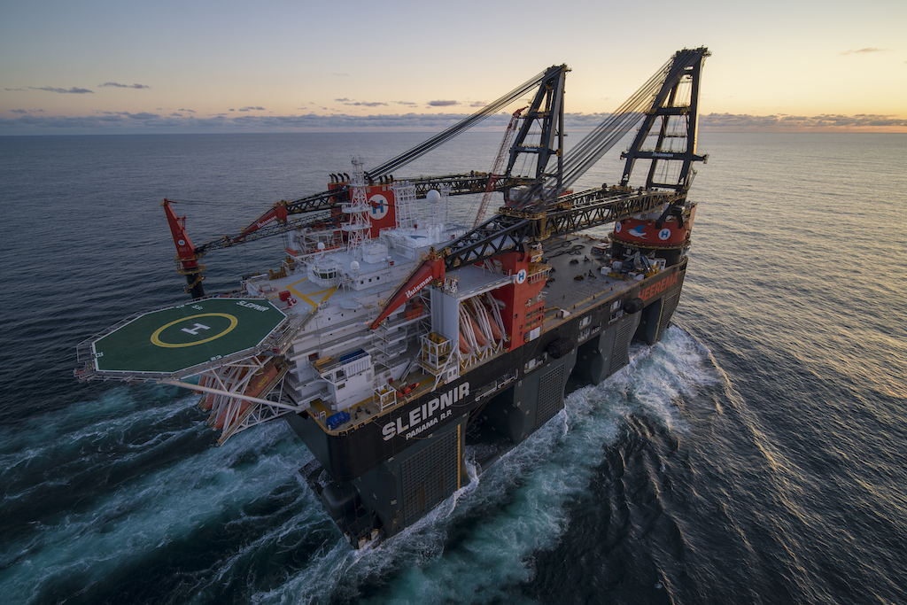
Heerema Marine Contractors reduced the North Atlantic transit of its semi-submersible crane vessel Sleipnir by 2.5 days during a voyage optimisation pilot carried out with French ocean intelligence specialist Amphitrite.
The data driven trial shortened the vessel’s route by 240 nautical miles and reduced CO₂ emissions by up to 18%, while maintaining higher average speeds without increasing fuel consumption.
The pilot combined Heerema’s offshore expertise with Amphitrite’s vessel specific optimisation platform, using five years of operational data to model Sleipnir‘s speed and power consumption under varying weather, wave and ocean current conditions. Unlike conventional weather routing, the system incorporates vessel performance data with high resolution ocean intelligence to identify the most efficient route.
The optimisation was tested during Sleipnir‘s mobilisation from Rotterdam to New York for the installation of an offshore wind substation. During the crossing, the platform identified the optimum departure window through the English Channel before recommending a more northerly route around a developing storm, allowing the vessel to benefit from favourable winds while remaining close to the shortest route.
On the return voyage, the system directed Sleipnir towards the Gulf Stream, where favourable currents increased the vessel’s speed over ground to 14.6 knots despite travelling a longer distance.
“Improving fleet efficiency is fundamental to our decarbonization strategy,” said Alejandro Velez Isaza, Decarbonization Engineer at Heerema Marine Contractors. “Working with Amphitrite not only demonstrated the value of vessel-specific voyage optimization, but also gave us a better understanding of how Sleipnir behaves during transit.”
Thomas Joyce, Head of Business Development at Amphitrite, added, “This collaboration with Heerema shows the value of combining vessel-specific models with high-resolution ocean intelligence. By bringing these factors into routing decisions, we can help crews and operators make better-informed choices that reduce transit time, fuel consumption and emissions.”